| Enable image database and site navigation |
Click on the image to access highest available resolution version.
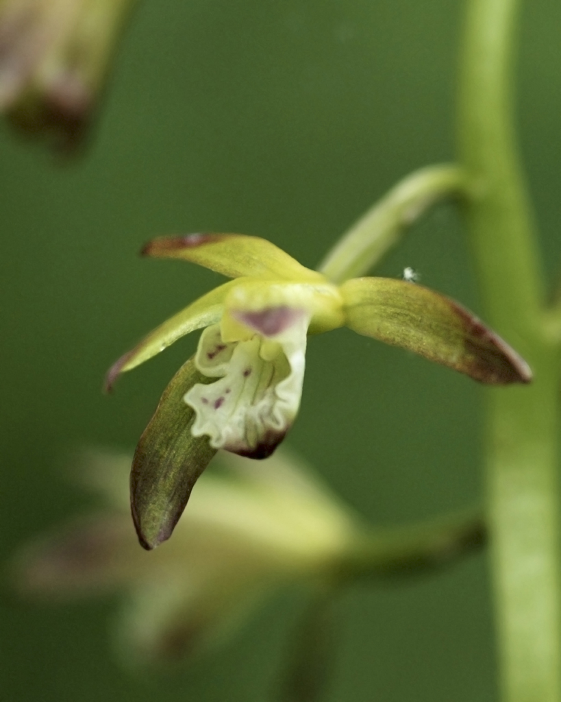
Aplectrum hyemale
(Muhl. ex Willd.) Torr.
nominal concept
common name: Adam and Eve
family: Orchidaceae
Identified 2009-05-10 by Ron Thomas
Refer to this permanent identifier for the image:
http://bioimages.vanderbilt.edu/thomas/0296-01-02
Use this URL as a stable link to this image page:
http://bioimages.vanderbilt.edu/thomas/0296-01-02.htm
DataCite DOI for the image:10.5281/zenodo.11014243
Location information for the occurrence documented by this image:
Hollow leading to field of Tomahawk Creek bottom, 325 m (by crow) SE of S Tomahawk Bridge, Searcy County, Arkansas, US
36.03083° latitude,-92.71363° longitude
