| Enable image database and site navigation |
Click on the image to access highest available resolution version.
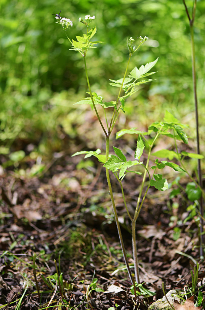
Osmorhiza longistylis
(Torr.) DC.
nominal concept
common name: longstyle sweetroot
family: Apiaceae
Identified 2009-04-29 by Ron Thomas
Refer to this permanent identifier for the image:
http://bioimages.vanderbilt.edu/thomas/0690-01-01
Use this URL as a stable link to this image page:
http://bioimages.vanderbilt.edu/thomas/0690-01-01.htm
DataCite DOI for the image:10.5281/zenodo.11018349
Location information for the occurrence documented by this image:
Hollow ending at Tomahawk Creek, 290 m (by crow) SW of Tomahawk Slab Rd (CoRd82) creek crossing, Searcy County, Arkansas, US
36.02097° latitude,-92.68131° longitude
