
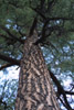
Mt. Shasta, northern California (c) 2005 Daniel P. Duran
Bioimages home (click on an image to enlarge)
view
this page in its intended navigation context
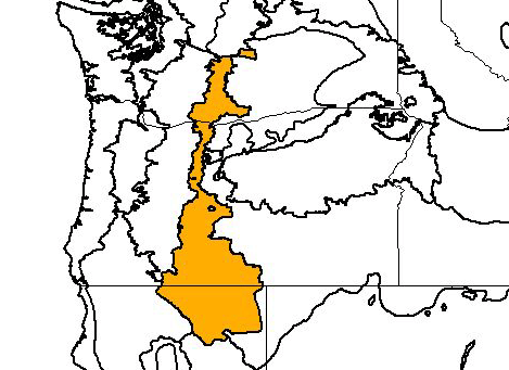
Eastern Cascades forests
(WWF
ecoregion NA0512)
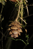
Mt. Shasta, northern California
(c) 2005 Daniel P.
Duran
Source of bioregions data:
Olson, D. M. and
E. Dinerstein. The Global 200: Priority ecoregions for global conservation. (PDF
file) Annals of the Missouri Botanical Garden 89:125-126.
Distinctiveness (1=highest,4=lowest): 3 (bioregionally
outstanding)
This region contains a high number of threatened or endangered species.
Elements of adjacent regions combine to make a complex mosaic.*
Conservation Status (1=most endangered, 5=most
intact): 2 (endangered)
About 25% of old-growth is protected. Logging and degradation of
shrub-steppe habitat by overgrazing and invasive species are threats.*
 | Pinus ponderosa | (ponderosa pine) |
Juniperus occidentalis
 | Pseudotsuga menziesii | (Douglas fir) |
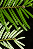 | Abies grandis | (grand fir) |
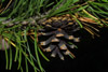 | Pinus contorta | (lodgepole pine) |
 | Tsuga heterophylla | (western hemlock) |
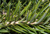 | Abies lasiocarpa | (subalpine fir) |
Abies concolor
Abies magnifica shastensis
 | Thuja plicata | (western red cedar) |
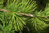 | Larix occidentalis | (western larch) |
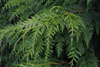
Associated habitats

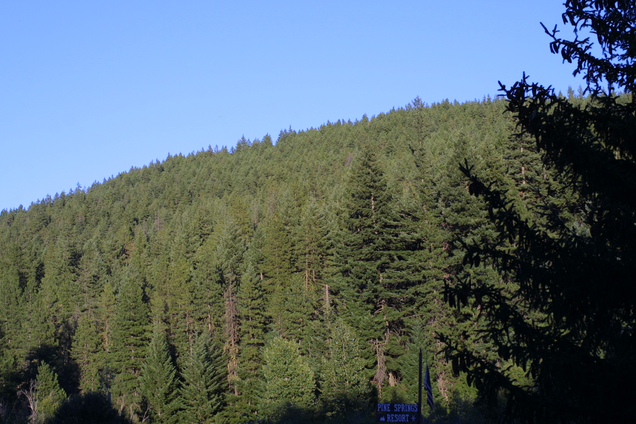
High elevation conifer forest, Brooks Memorial State Park, Washington
(c) 2005 Steven J.
Baskauf
hires

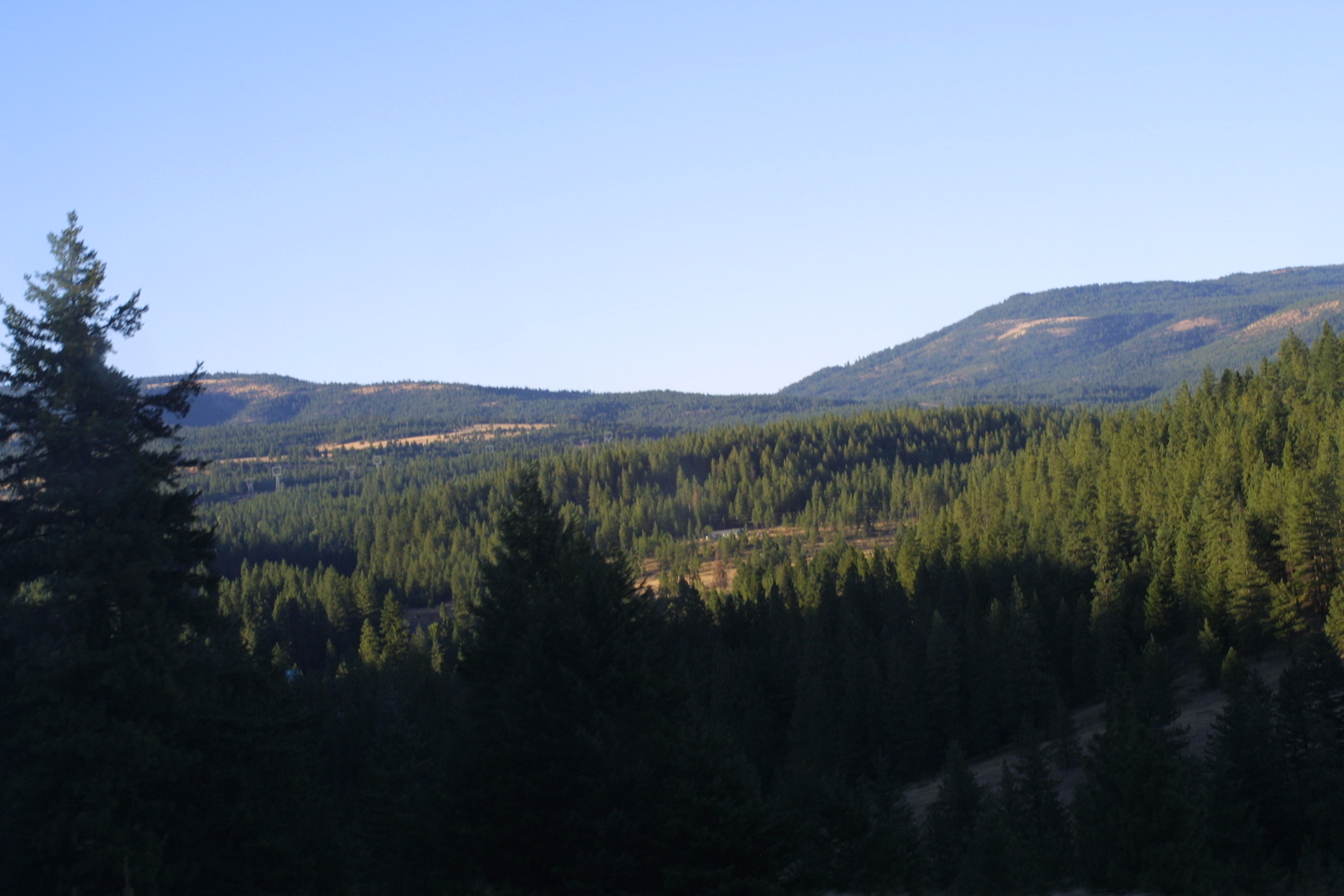
Lower elevation forest, south of Yakima, Washington. At lower
elevations, the continuous coniferous forest is broken by patches of shrubland.
(c) 2005 Steven J.
Baskauf
hires


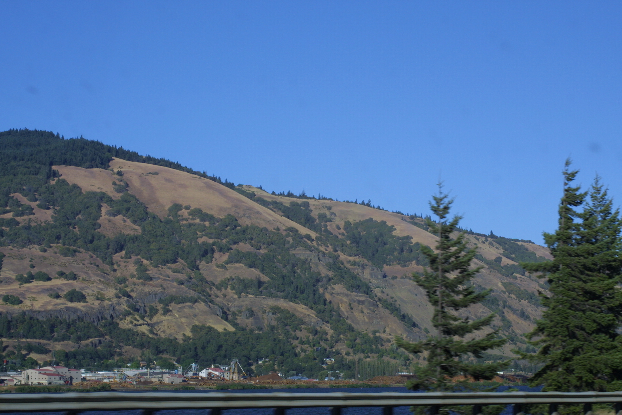
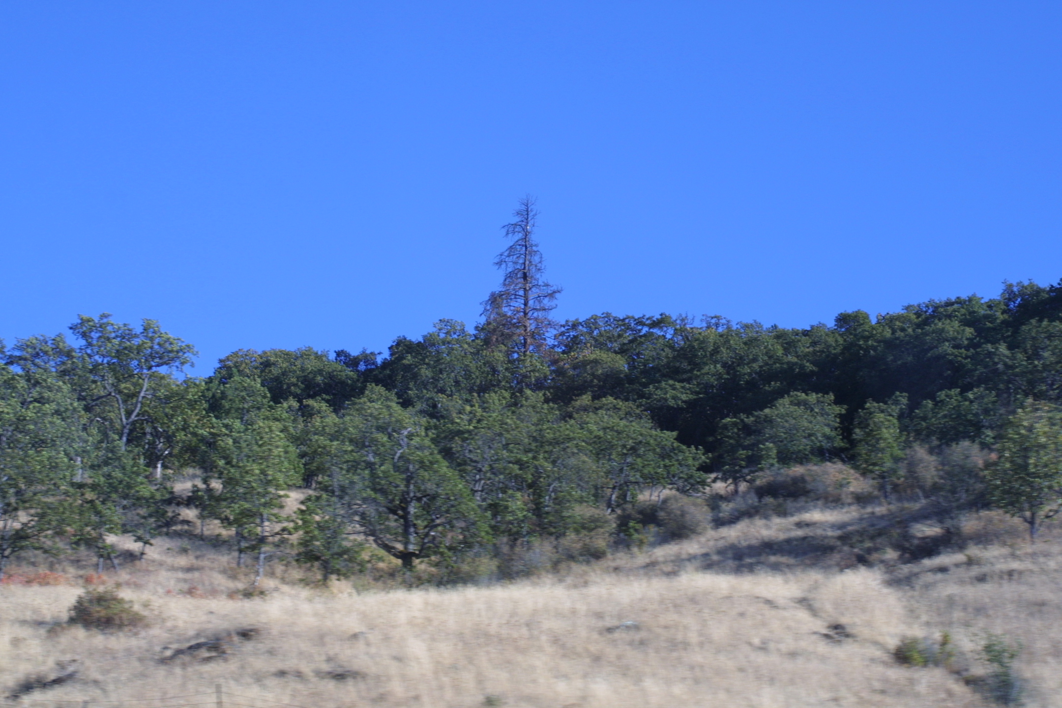
Effect of aspect, Columbia River valley, Washington and Oregon. As
the climate becomes drier to the east, the aspect of the slopes determine the
composition of the woody vegetation. Left: The more moist north-facing
slope is covered primarily with conifers. Right: The drier south-facing slopes
are covered mostly with shrubs and grasses except in depressions.
(c) 2005 Steven J.
Baskauf
hires
hires


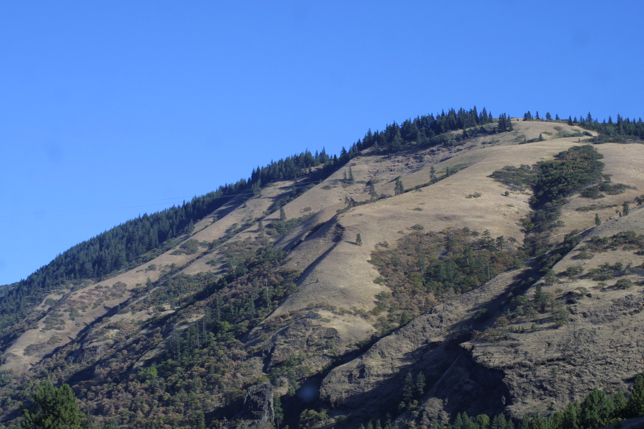
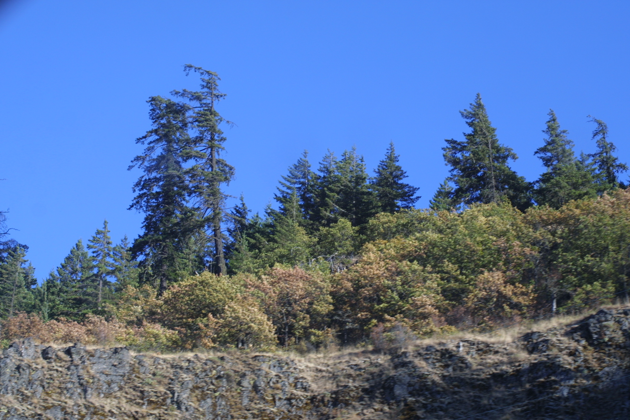
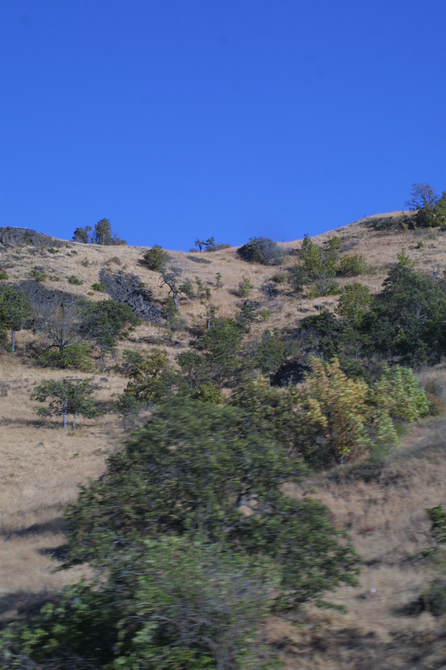
Eastern edge of the ecoregion, Columbia River valley, Oregon. Far
left and left center: At the eastern edge of the ecoregion, conifers become more
sparse even on the north-facing slopes. Right center and far right:
Eventually the conifers disappear entirely and are replaced with shrub steppe.
(c) 2005 Steven J.
Baskauf
hires
hires
hires
hires
* Ricketts, T.H., E. Dinerstein, D.M. Olson, C.J. Loucks, et al. (1999) Terrestrial Ecoregions of North America: A Conservation Assessment. World Wildlife Fund - United States and Canada. Island Press, Washington, D.C. pp. 231-234.
Except as noted, images copyright 2002-2005 Steve Baskauf - Terms of use