
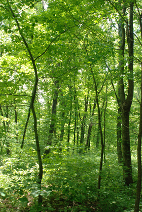
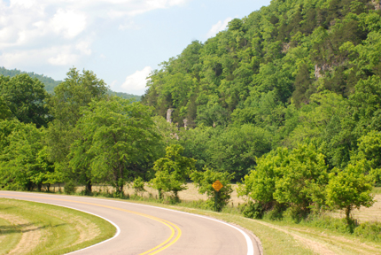
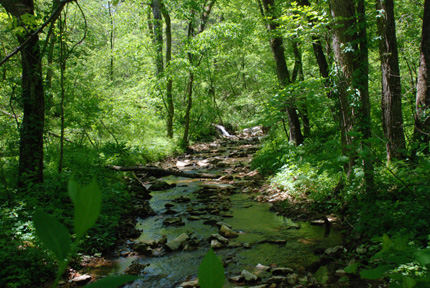
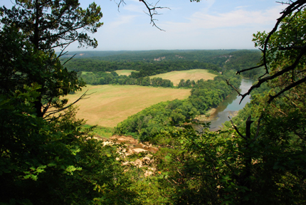
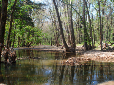
Five miles east of Hartshorne, Oklahoma on Hwy. 1 (c) 2010 Ron Thomas
Bioimages home (click on an image to enlarge)
view
this page in its intended navigation context
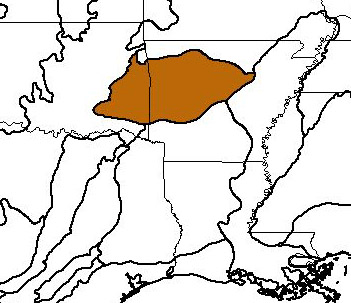
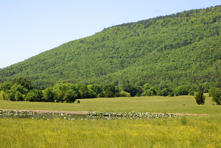
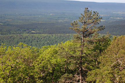
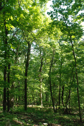
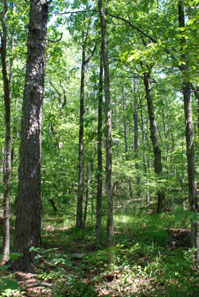
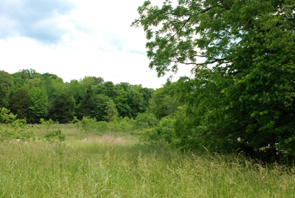
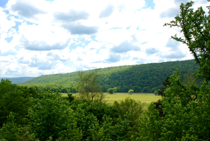
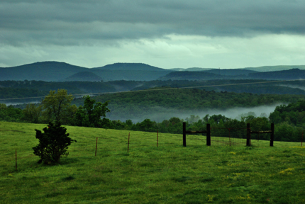
Ozark Mountain forests
(WWF
ecoregion NA0412)
Five miles east of Hartshorne, Oklahoma on Hwy. 1
(c) 2010 Ron Thomas
Source of bioregions data:
Olson, D. M. and
E. Dinerstein. The Global 200: Priority ecoregions for global conservation. (PDF
file) Annals of the Missouri Botanical Garden 89:125-126.
Distinctiveness (1=highest,4=lowest): 2 (regionally
outstanding)
The region has distinctive freshwater communities and the mountainous areas
(Boston and Ouachita) have some of the best-developed oak-hickory forests in the
United States.*
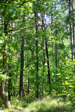
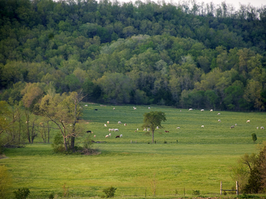
Conservation Status (1=most endangered, 5=most
intact): 2 (endangered)
Only about 3% of the ecoregion is intact habitat and this is highly fragmented.
The remaining intact habitat is mostly at high elevations and is threatened by
logging, fire suppression, and conversion to agriculture.*
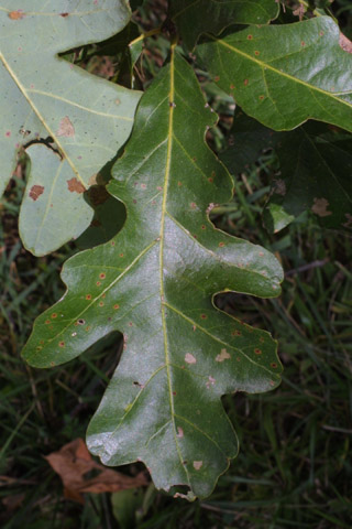 Quercus
alba
Quercus
alba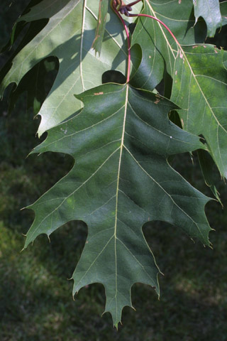 Quercus
rubra
Quercus
rubra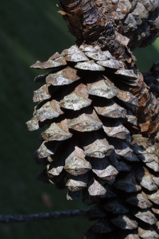 Pinus
echinata
Pinus
echinata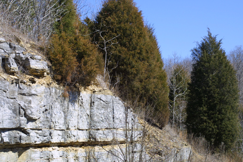 Juniperus
virginiana
Juniperus
virginianaSome associated habitats

* Ricketts, T.H., E. Dinerstein, D.M. Olson, C.J. Loucks, et al. (1999) Terrestrial Ecoregions of North America: A Conservation Assessment. World Wildlife Fund - United States and Canada. Island Press, Washington, D.C. pp. 164-166.